Gila Mountains
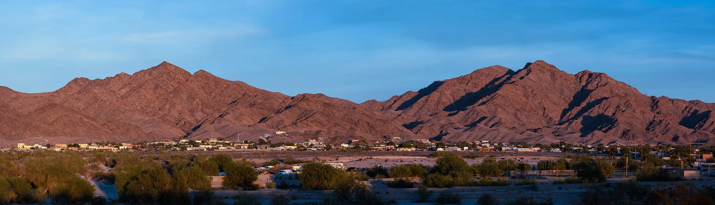
You could say that the Gila Mountains are Yuma's mountain range. The Gilas are situated about 14 miles east of downtown Yuma, Arizona and just a mile or two east of the Fortuna Foothills, an unincorporated bedroom community that’s about 12 miles east of the city. The Gilas are a small range, just 26 miles long. The tallest peak, Sheep Mountain, is just 3,156 feet in elevation.
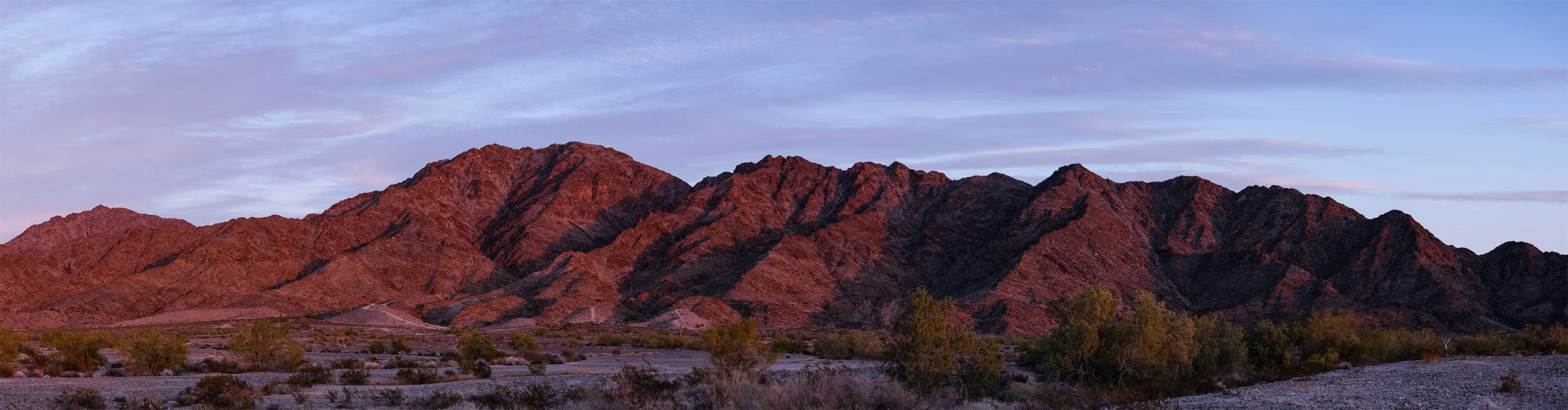
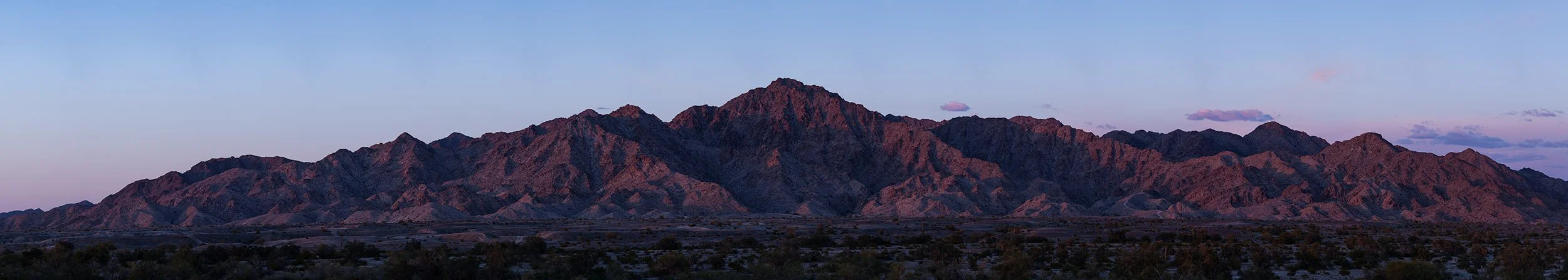
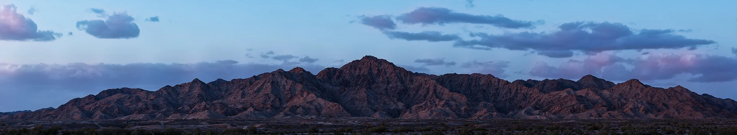
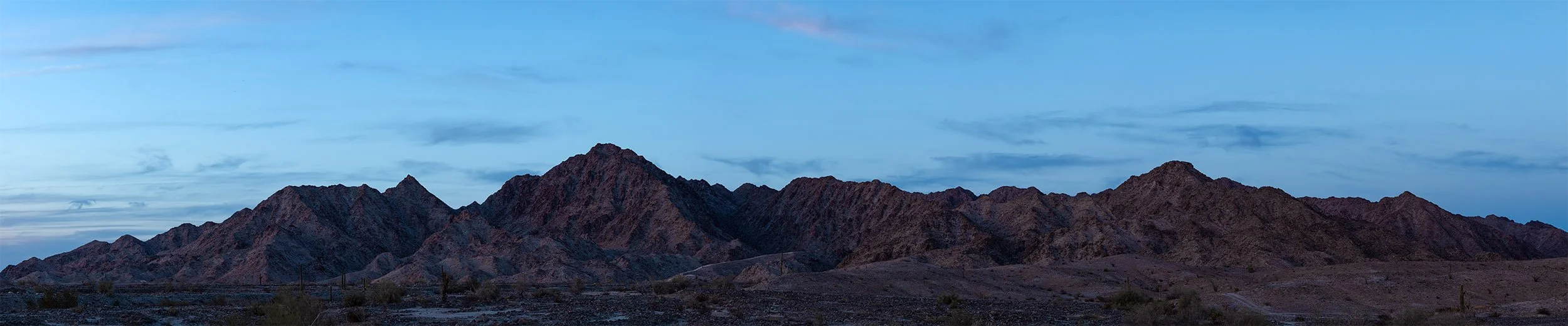
In spite of the relatively small size of the range, I think the Gilas do more than any other geological feature to make Yuma scenic. Even though the Gilas aren't very tall, they look tall, because they're so close to Foothills neighborhoods and because they rise so dramatically out of the desert. My favorite aspect of the Gilas is that at certain times of the day, they turn spectacular colors. That's why the Gilas have been my favorite subjects for panorama photography over the past several years.
The Gilas are a "fault block" range, which means they were formed by vertical tectonic forces. They're a relatively "young" range - only about 30 million years old. Those factors likely account for their dramatic shapes and rugged terrain. From a distance, the Gilas can look rocky and barren, but a hike into the range will reveal that they're teaming with life.
I’ve divided the Gila Mountain panoramas into six categories, as shown below. Click on an image to see more images from that part of the Gilas. Which section of the Gilas is your favorite?
North Gilas from Foothills Boulevard
North Gilas from S. Ave. 14E and Maria de Fortuna Dr.
Fortuna Hills
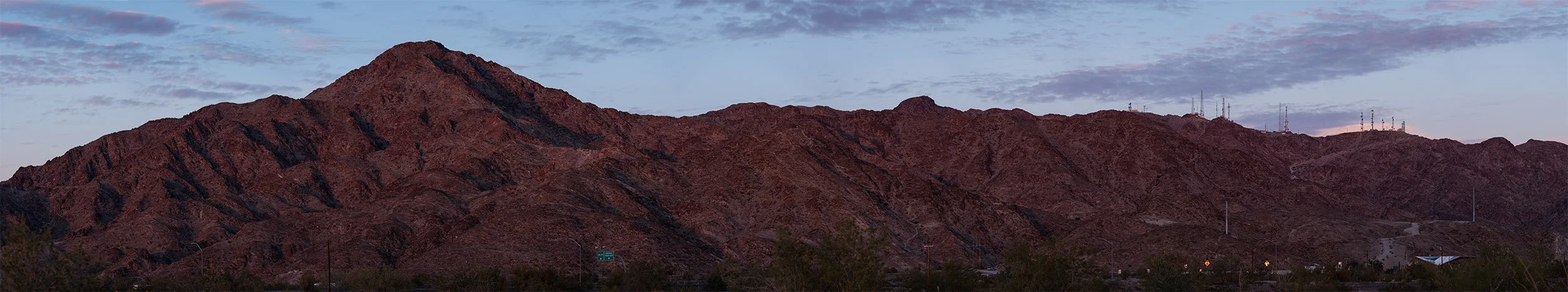
Telegraph Pass
The “Shark Tooth”
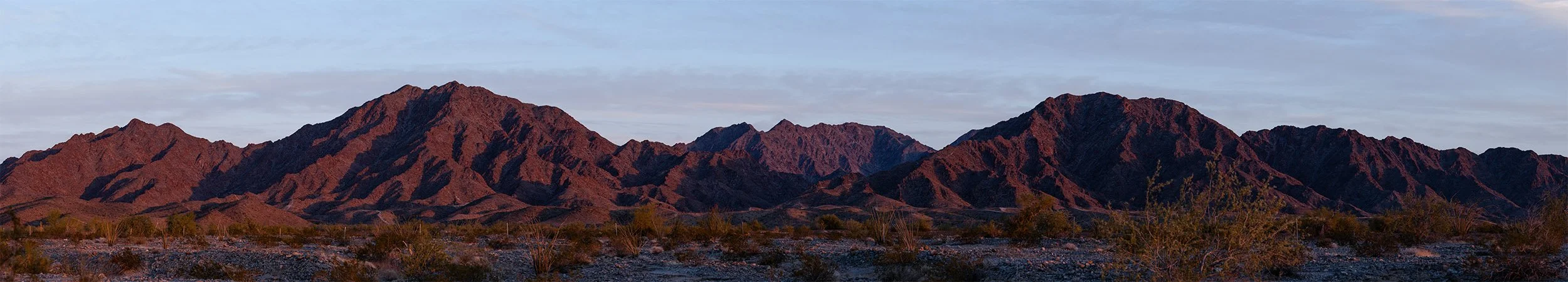
South Gilas from 56th St. and S. Ave. 15E