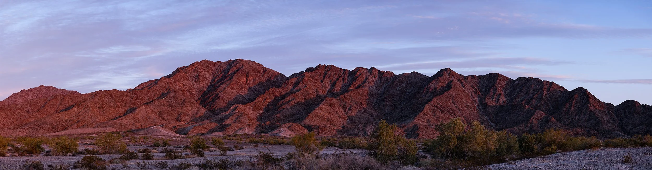
South Gilas from 56th St. and S. Ave. 15E
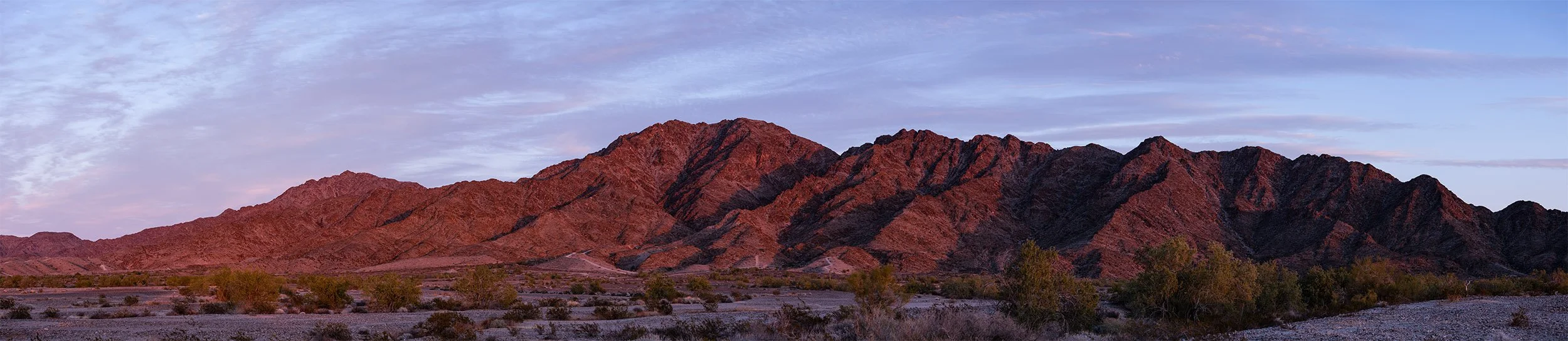
Here we have another view of the south Gila Mountains that golfers at the Foothills Executive Course and the Foothills Par 3 Course - which are located about 14 miles east of Yuma, Arizona - see every day. This view of the south Gilas is what originally motivated my first attempts to photograph the range. These images were captured near the south end of S. Ave. 15E, which is the southeast corner of the Foothills community. Somewhere in the foreground is a place known to hikers as “Happy’s Point,” which appears on Google Maps.
The highest peak in these images is Jester’s peak, a.k.a. Fortuna Peak, a.k.a. Flag peak. Jester’s trail isn’t visible because it’s on the north flank of the peak, and these photos are from the southwest.
“Happy’s Point Gilas”
February 5, 2023
Acrylic prints from $5,400